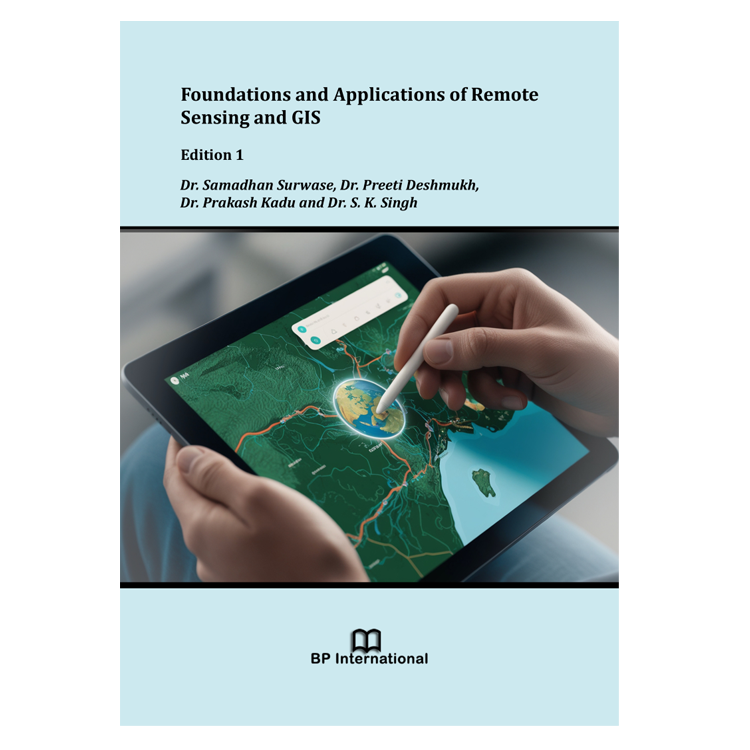
Agriculture is the backbone of the Indian economy. Agriculture in India is mainly dependent on monsoon rains. Due to excessive use of chemical fertilizers, uncontrolled use of irrigation water, less use of organic fertilizers and climate change soil health has deteriorated therefore decreasing soil fertility and soil productivity. Therefore, modern tools such as Remote Sensing (RS) and GIS are very important for monitoring the agricultural as well as climate changes. The area of Remote Sensing and GIS are greatly expanding very fast and methods of Remote Sensing & GIS are greatly useful in Agriculture for observation and monitoring crops, soil and water conditions, and predicting and monitoring climate changes. Therefore, the application of Remote Sensing & GIS in Agriculture is needed to understand the basic concepts of Remote Sensing & GIS. This book aims to introduce the basic concepts of Remote Sensing & GIS. This book covers the key area of Remote Sensing & GIS including history, basics, component and types of remote sensing, resolution of remote sensing, interaction of EMR, basics of aerial photography, remote sensing platforms, remote sensing orbits and types of sensors, history, component and types of data in GIS, shape of earth and map projection & datum. This book contains various materials suitable for students, researchers and academicians in the fields of agricultures.
Foundations and Applications of Remote Sensing and GIS, Edition 1
Dr. Samadhan Surwase
Vasantdada Sugar Institute, Manjari Bk., Pune (MH), India.
Dr. Preeti Deshmukh
Vasantdada Sugar Institute, Manjari Bk., Pune (MH), India.
Dr. Prakash Kadu
College of Agril. Nagpur, Dr. PDKV Akola (MH), India.
Dr. S. K. Singh
ICAR- NBSS&LUP, Nagpur (MH), India.
Book Details
| Author(s) | Dr. Samadhan Surwase |
|---|---|
| Pages | 77 |
| Publisher | BP International |
| Language | English |
| ISBN-13 (15) | 978-93-49238-73-2 (Print) |
| Published | January 25, 2025 |


