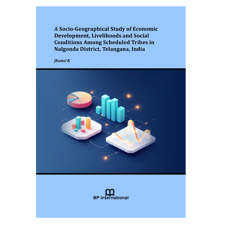
The geographical study of development brings together landscapes, livelihoods and the institutions through which people obtain resources and services. In Nalgonda, the district-wide distribution of agriculture, irrigation, employment and education provides an important context for understanding household circumstances. Equally, household observations reveal dimensions of development that administrative totals alone cannot express. This book places these two levels of evidence in conversation.
The empirical setting is the district configuration used for the 2011 census and the associated administrative statistics, together with household fieldwork undertaken in 2015. Nalgonda therefore denotes the historical study district unless a more specific spatial unit is stated. The household component concerns Lambadi/Banjara households in three selected mandals. The distinction between the wider Scheduled Tribe population and this particular survey population is central to the organisation of the book.
The chapters proceed from conceptual foundations and the geographical setting to demographic patterns, economic infrastructure, household conditions and human-development measures. The final chapter draws together the geographical and social implications. The field schedule and photographic record accompany the analysis as appendices. Recent research provides a comparative interpretative setting for the historical evidence; the observation period of the Nalgonda study remains 2011-2015.